
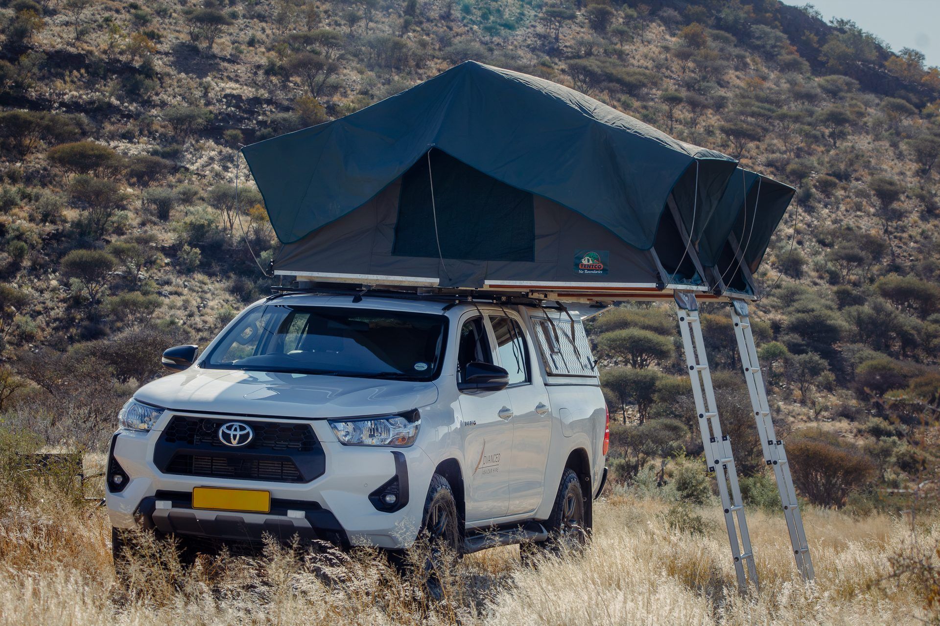
Which 4x4 should I rent in Namibia?
Hilux, Fortuner, Jimny or Land Cruiser camper? Choose by group size, route, camping vs lodges and budget, with honest trade-offs and real day rates.
Read more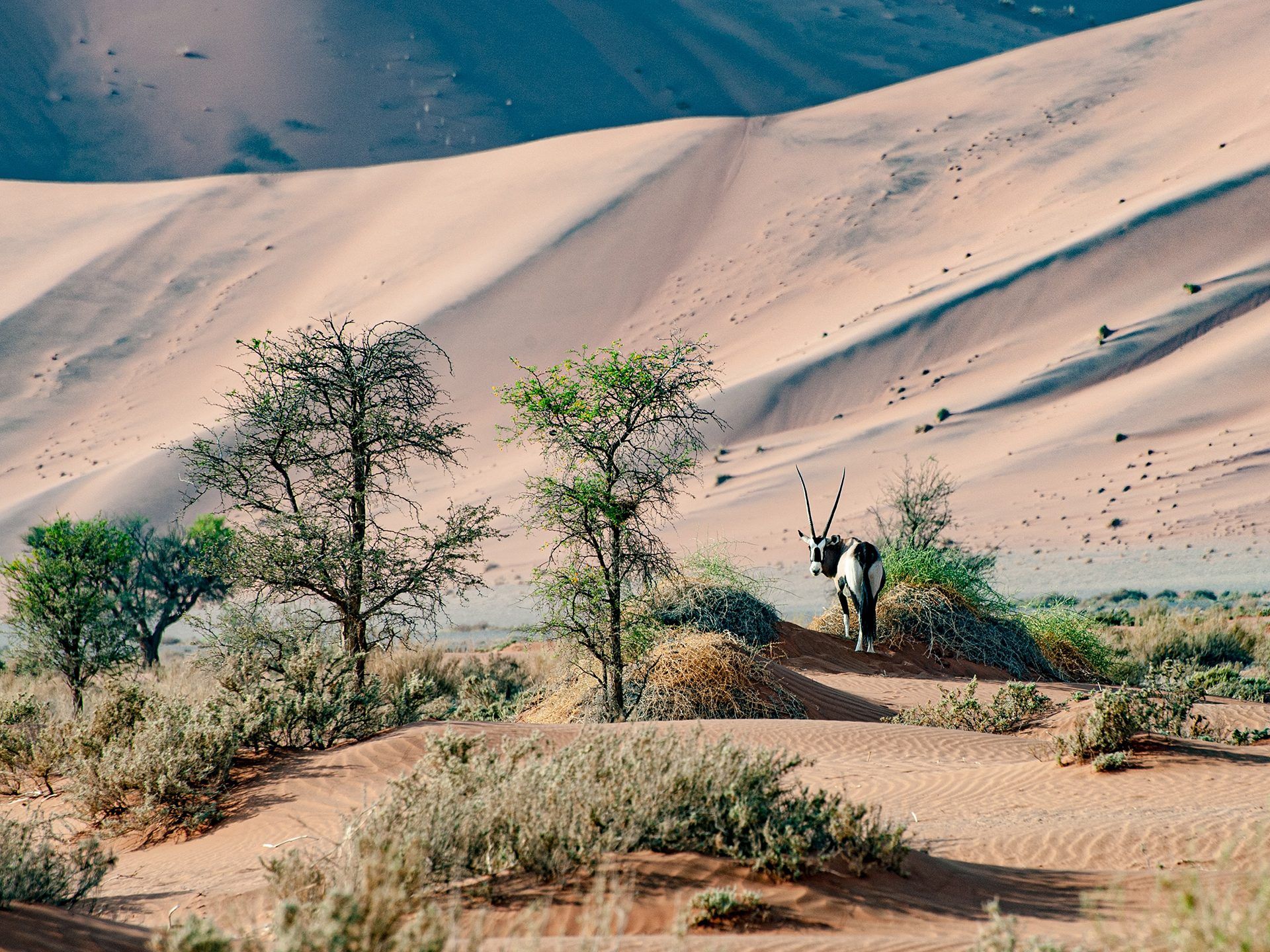
Guide
The short version: Namibia's tar arteries (the B1 north–south and the B2 to the coast) are good, well-kept roads. Almost everything else is gravel: roughly 90% of the road network. Good gravel here is better than visitors expect and bad gravel is worse, and the same road changes with grading, traffic and rain. Plan gravel days at 60 to 80 km/h, never at the speed the map app suggests, and be parked before sunset. Here is the route-by-route picture we give our own renters.
B1 (Windhoek to Etosha and the north). Tar all the way through Otjiwarongo and Outjo to the Andersson Gate turn-off (the last stretch is the C38, also tar). About 435 km from Windhoek to the gate, 4.5 to 5 hours with stops. Watch for warthogs and kudu near the roadside, especially at dawn and dusk.
B2 (Windhoek to Swakopmund). About 350 km of good tar, 3.5 to 4 hours. The easiest drive in the country. Coastal fog near Swakopmund in the morning is the one real hazard: slow down and use lights.
B6 (Windhoek to the Botswana border at Buitepos). Tar, about 315 km, through Gobabis. The Kalahari starts here, and so does livestock on the road.
B8 (Rundu to Katima Mulilo). Tar across the Caprivi strip, about 510 km. Flat, straight and deceptive: elephants, buffalo and villages mean a strict, patient pace. This is also the road to the Zambia crossing at Wenela.
B1 south (Windhoek to Keetmanshoop and the Fish River Canyon turn-off). About 500 km of tar. The canyon itself is reached on gravel C and D roads from the Seeheim area, which is where the driving slows down.
To Sesriem and Sossusvlei (C19 and C27). Windhoek to Sesriem is roughly 305 km, mostly gravel once you leave the B1, and takes 4 to 5.5 hours depending on corrugations. The Solitaire stop is not optional folklore; it is the sensible halfway break. Inside the park, the 60 km to the Sossusvlei parking area is tar, and the final stretch to Deadvlei is deep sand for 4x4s, or a shuttle if you prefer.
Damaraland (C35, C39, C43). Swakopmund to Twyfelfontein via the C35 is about 330 km of gravel, rocky in places, 4 to 5 hours. Damaraland gravel is stony rather than sandy: sharp stones are the main tyre risk, which is one reason every rental carries two spares on most vehicles and a free tyre and glass waiver.
Etosha's own roads. Inside the park the roads are gravel, graded but corrugated in season, with a strict park speed limit. The driving is slow game-viewing, not transport: 30 to 40 km/h is a realistic average between waterholes.
The Kalahari (C20, C15 and farm roads). East of Mariental the gravel gives way to sand tracks in places. Sand here is usually firm under the surface, but after rain the clay pans hold water and the tracks turn deceptive. Momentum and lowered tyre pressures, which we show you at handover, do the work.
Kaokoland. North-west of Palmwag the roads become tracks: rocky passes, sandy riverbeds, long distances between fuel and help. This is expedition driving in a Hilux or Cruiser with a satellite phone, not an extension of the standard circuit, and it needs a conversation with us before you book.
Rains fall roughly November to April, mostly as afternoon thunderstorms. Three changes matter. First, dry riverbeds (riviere) can flash-flood with water that arrives from rain you never saw: never cross flowing water; park and wait, it usually drops within hours. Second, gravel gets slippery and some D-roads and clay sections become impassable for a day or two. Third, the reward: green grass, dramatic skies, migrant birds and far fewer visitors. The tar arteries and the main gravel routes stay open in all but exceptional weather; it is the farm tracks, river crossings and Kaokoland that close. Our cost guide covers low-season (green season) pricing, which is the other reward.
| Leg | Distance | Surface | Plan on |
|---|---|---|---|
| Windhoek to Etosha (Andersson Gate) | ±435 km | Tar | 4.5 to 5 hours |
| Windhoek to Swakopmund | ±350 km | Tar | 3.5 to 4 hours |
| Windhoek to Sesriem | ±305 km | Mostly gravel | 4 to 5.5 hours |
| Swakopmund to Twyfelfontein | ±330 km | Gravel | 4 to 5 hours |
| Sesriem to Swakopmund | ±350 km | Gravel and tar | 4.5 to 5.5 hours |
| Windhoek to Katima Mulilo | ±1,200 km | Tar | Two days, not one |
Map apps assume tar speeds on gravel. Work on 60 to 80 km/h averages off tar, add fuel and photo stops, and set a hard rule: wheels stop an hour before sunset.
The tar routes, yes. The trips most people come for, no: Sossusvlei, Damaraland and the camps are reached on gravel where ground clearance, all-terrain tyres and low range matter. Around 90% of the network is unpaved, which is why a 4x4 is strongly recommended across our whole site.
An average of 60 to 80 km/h on open gravel in good condition, less on corrugated or rocky sections, and park speed limits inside Etosha. If your plan needs more than that, the plan is wrong, not the road.
Yes, on the main routes, with two rules: never cross a flowing riverbed, and allow spare time for roads that need a day to dry. Green season is many locals' favourite time to travel.
Animals on unlit roads are the leading cause of serious accidents on Namibian gravel. Kudu in particular jump into headlights. Every itinerary we plan ends at camp or a lodge before dark.
Hilux, Fortuner, Jimny or Land Cruiser camper? Choose by group size, route, camping vs lodges and budget, with honest trade-offs and real day rates.
Read more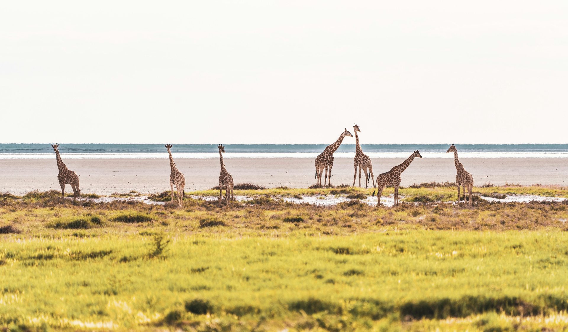
Rental, fuel, park fees, campsites, lodges and food, priced honestly with our real rack rates and three worked itineraries from about N$29,000 to N$88,500.
Read more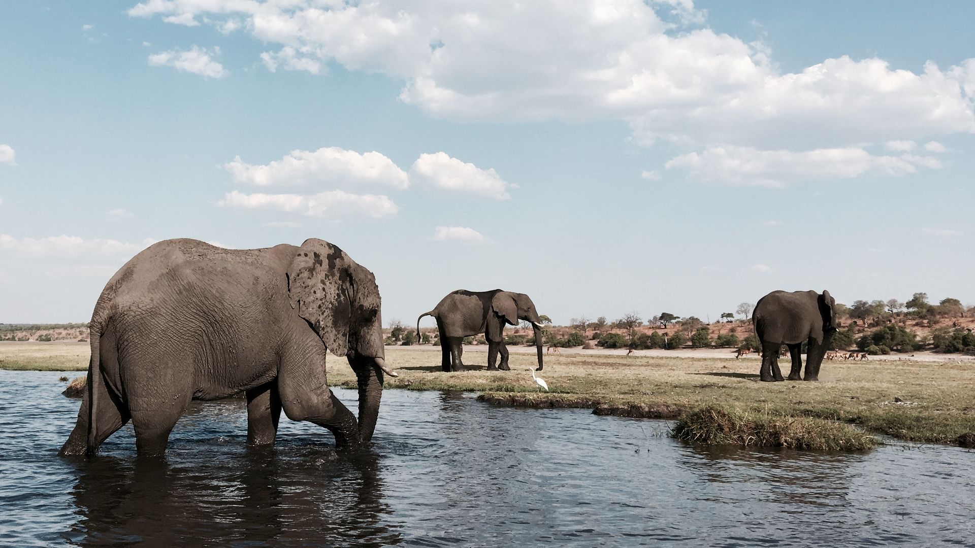

How to take a rental 4x4 from Namibia into Zambia at Wenela (Katima Mulilo) for Livingstone and Victoria Falls: permission, documents, border fees and vehicle rules.
Read more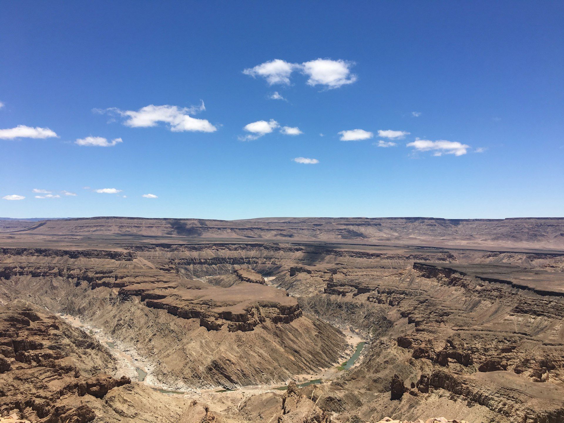
Angola is an upon-request destination: visa-free entry for many, the Oshikango and Santa Clara crossing, temporary import permits, and what we can arrange in writing.
Read more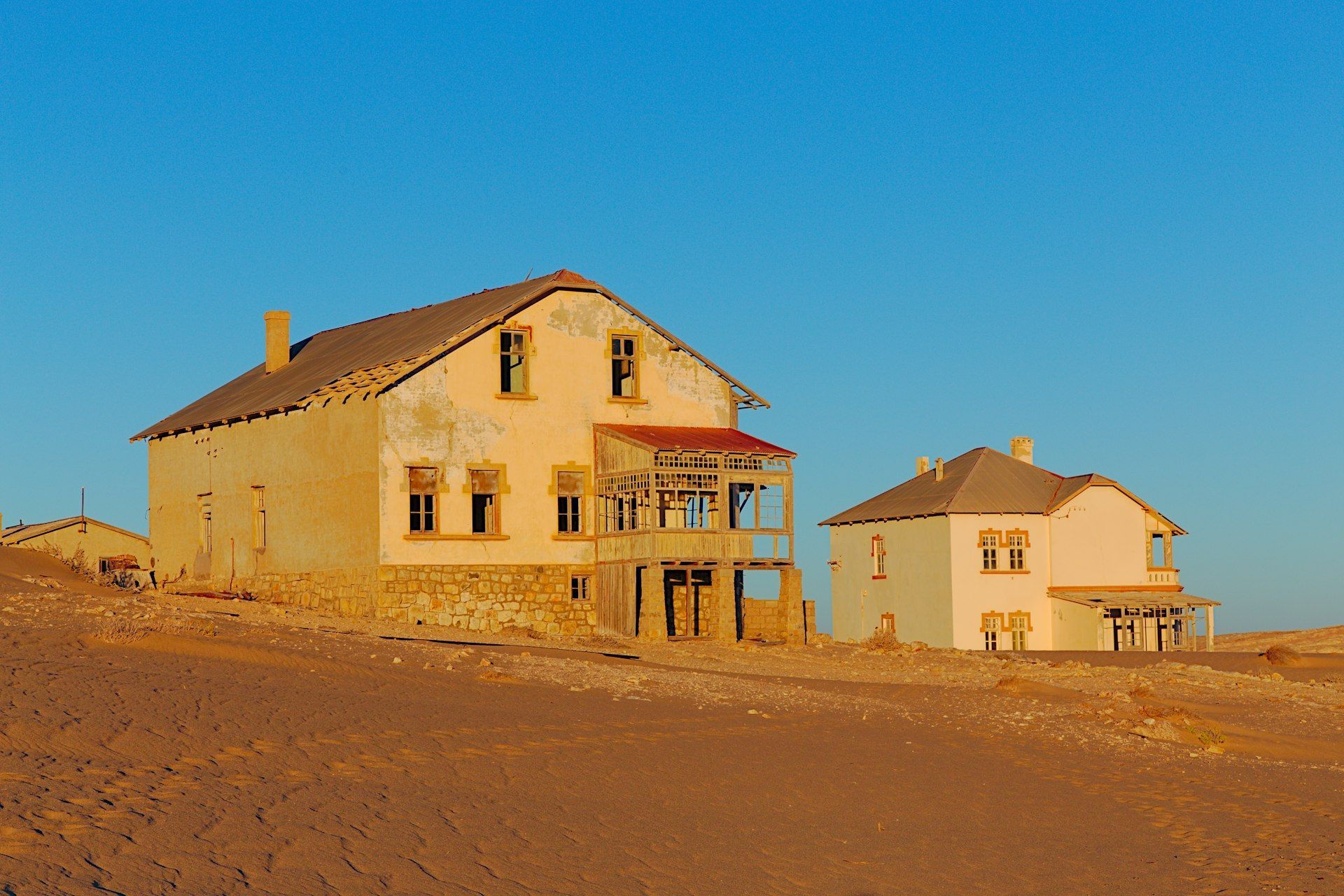
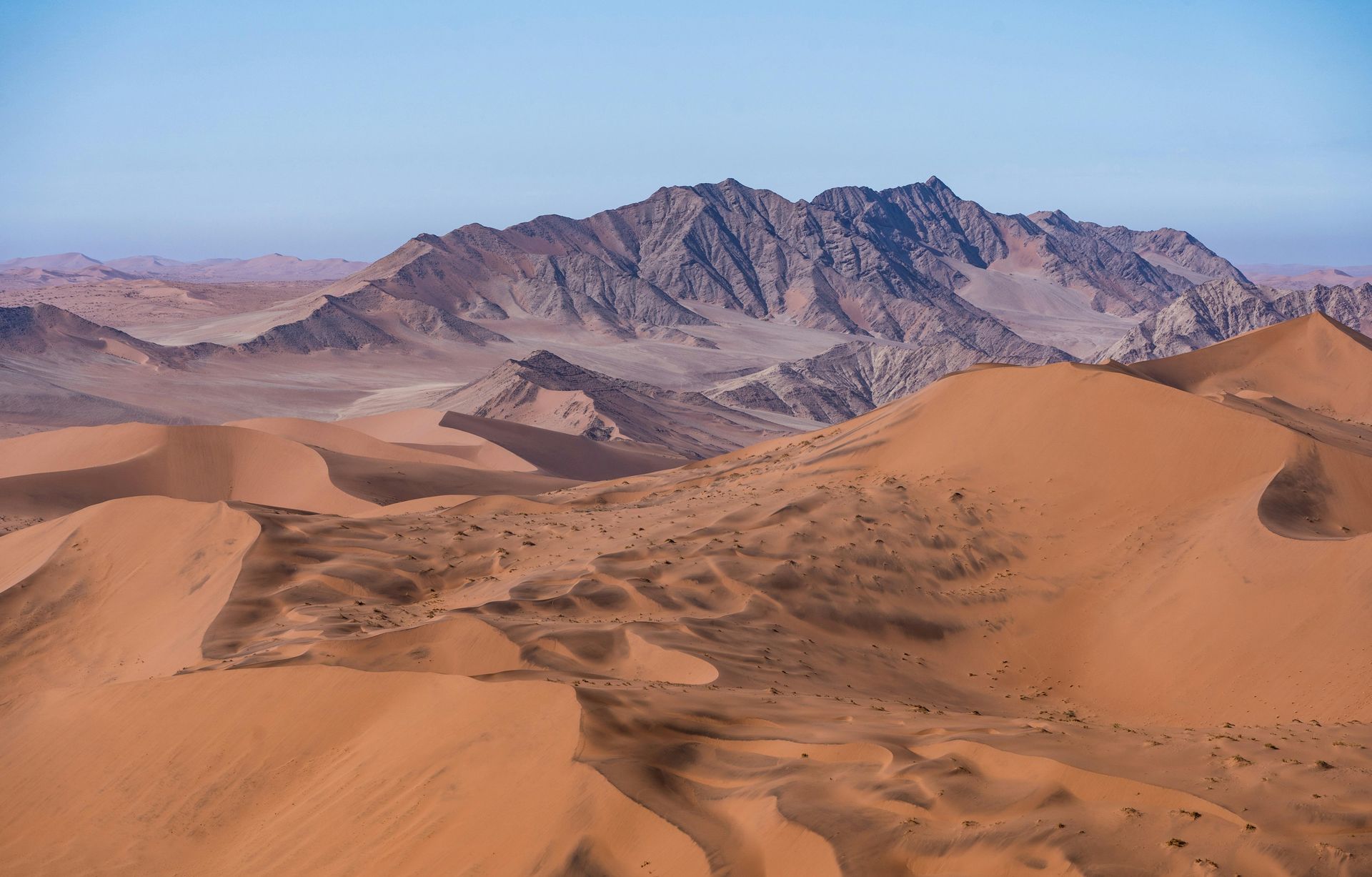
Three proven circuits with day-by-day distances and driving times: the Classic in 12 days, the Lean Week in 8 and the Grand Loop in 16, with seasons, honest costs and border advice.
Read morePlanning a Namibia road trip? Get our free route-planning guide by email.
Book the 4x4, tell us the route, and we will have the paperwork ready.